Umbrellas Up: Soaking Rain and Gusty Winds Set to Dampen Portland Today

A Stormy Shift for the Rose City
Portland residents should keep their rain gear close at hand this Tuesday, March 3, 2026. After a relatively calm start to the week, a significant weather system is moving into the Pacific Northwest, bringing widespread rain, gusty winds, and the potential for urban flooding. While the day began with a rare celestial spectacle—a total "blood moon" lunar eclipse visible in the clear hours before dawn—the focus for the remainder of the day has shifted to the terrestrial challenges of a strengthening late-winter storm.
Morning: Foggy Starts and Rising Clouds
The morning commute is expected to be slower than usual as low clouds and patchy fog linger across the metro area. Early morning temperatures are holding steady in the mid-40s, hovering around 46°F. While the chance of precipitation remains low (approximately 10%) before 10:00 AM, visibility may be limited for drivers. Commuters are advised to slow down and allow extra time for travel as the first light sprinkles are projected to begin moving in from the south late in the morning.
Afternoon: Rain Becomes Likely
As we move into the afternoon, the probability of precipitation increases significantly. Forecasters at the National Weather Service indicate that rain is likely to develop steadily between 10:00 AM and 4:00 PM. Temperatures will peak at a high of approximately 57°F, which is relatively mild for early March but will be accompanied by increasingly damp conditions. Expect a transition from intermittent sprinkles to a more consistent downpour as a stronger front approaches the Oregon coast, pushing moisture into the Willamette Valley.
Evening and Overnight: Wind and Heavy Precipitation
Conditions are set to deteriorate further as the sun sets. By Tuesday evening, the rain will become widespread and steady. Southerly winds will pick up, averaging 7 to 9 mph with gusts potentially reaching 20 to 25 mph during the heaviest periods of rainfall. Overnight lows will remain mild, dipping only to about 47°F. This system serves as the precursor to a larger "washout" expected on Wednesday, with snow levels in the Cascades predicted to drop as low as 3,500 to 4,500 feet, potentially impacting travel at the Santiam and Willamette passes.
Safety Alerts and City Preparation
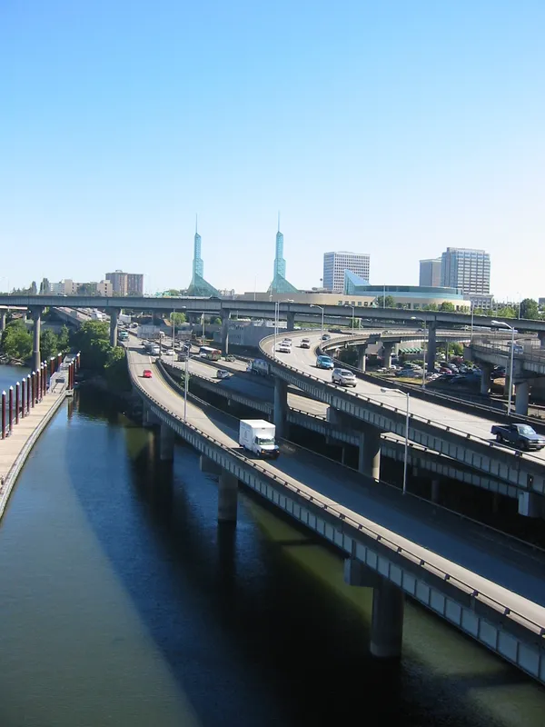
In response to the "Soak Alert" issued for the region, the City of Portland has mobilized crews to clear storm drains and ensure sandbag locations are accessible to residents in flood-prone areas. Drivers should watch for localized street flooding in low-lying areas and be wary of downed branches caused by gusty winds following periods of soaking rain. If your travel plans involve the mountains later this week, be sure to check road conditions via TripCheck as the rain is expected to shift to heavy, travel-impacting snow at higher elevations.

Grey Canopies and Evening Drizzles: A Quietly Damp Thursday for Portland
Downtown Portland hosted Coraline-inspired public art trail, pairing 31 cat sculptures with children’s hospital fundraising
Copper wire theft disables I-84 lighting in Portland area, prompting ODOT repairs and added security measures