Unseasonable Mildness as High Pressure Grips the Rose City
Morning: A Chilly but Dry Start
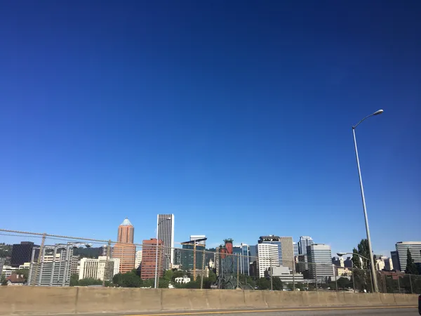
As Portlanders wake up this Tuesday, February 3, 2026, the morning air carries a familiar winter chill but remains largely dry. Early temperatures are hovering around 43 degrees Fahrenheit. While cloud cover is significant across the metro area, the heavy rains typical of early February are noticeably absent. Commuters can expect damp roads from overnight humidity, which sits at approximately 80 percent, but visibility remains high for the morning rush. Light breezes from the north are keeping the air crisp as the city transitions into the midday hours.
Afternoon: Unseasonable Warmth and the Building Ridge
The primary story of the day is the unseasonable warmth moving into the Pacific Northwest. Thanks to a strong upper-level ridge building over the region, Portland is set to see afternoon highs reaching a peak of approximately 57 degrees Fahrenheit. This temperature is significantly higher than the historical average for this time of year. Although the sky will remain mostly cloudy throughout the day, the dry conditions are expected to persist. For those planning outdoor activities or afternoon walks, the weather is remarkably cooperative. Meteorological data suggests this is the beginning of a prolonged dry spell that will last through at least Friday, providing a welcome reprieve from the typical winter dampness of the region.
Evening: Stable Skies and Gorge Breezes
Heading into the evening, the mercury will slowly dip back toward an overnight low of 43 degrees. The atmospheric stability brought by the high-pressure ridge will keep the clouds in place, though the chance of precipitation remains at a negligible 10 percent. Residents in the eastern portions of the Portland metro area and those near the western mouth of the Columbia River Gorge may notice a slight increase in easterly winds. While the most intense gusts are predicted for later in the week, the evening air may feel slightly brisker in Troutdale and Gresham as the pressure gradient begins to shift toward the coast.
Alerts and Precautions
Currently, there are no active weather warnings, wind advisories, or rain alerts for the Portland metropolitan area. The primary focus for residents should be the shift toward drier, warmer air. While umbrellas are likely not needed today, the high humidity levels suggest that patchy fog could develop in low-lying areas late tonight. Drivers should remain cautious of reduced visibility during late-night travel. Additionally, while temperatures are mild today, the stable air mass typical of these ridges can occasionally lead to air stagnation in the valley; however, air quality currently remains within healthy limits. Residents are encouraged to enjoy the break from the rain as the Rose City settles into this unusually mild February stretch.