Persistent Rain and Chilly Breezes: Navigating a Soggy Tuesday in the Rose City
A Wet Start for the Portland Metro
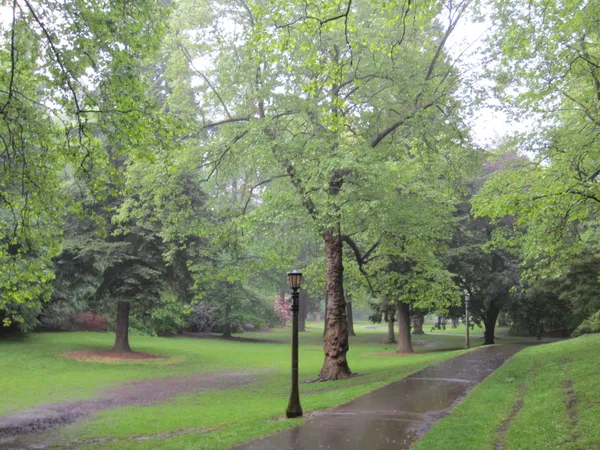
Portland residents are waking up to a familiar sight this Tuesday, February 24, 2026, as a steady stream of moisture continues to move through the Willamette Valley. After a night of consistent rainfall, the morning commute is being met with mist, light rain, and damp pavement across the city. While the more severe "Weather Impact Alerts" from earlier in the week have been lifted, the atmosphere remains saturated, ensuring that umbrellas and rain shells will be the necessary accessories for anyone heading outdoors today.
Morning Forecast: Mist and Mild Chills
Throughout the early morning hours, temperatures have hovered in the low 40s, specifically ranging between 41°F and 43°F. Visibility has been somewhat limited by persistent mist and light rain showers. A light northerly breeze, clocking in at approximately 5 mph, is providing a slight bite to the air, making it feel closer to the high 30s for those waiting at transit stops. Forecasters indicate a nearly 100% chance of precipitation through the mid-morning, so early commuters should plan for extra travel time due to slick road conditions on I-5 and I-84.
Afternoon Outlook: Steady Showers Continue
As we move into the afternoon, the rain is expected to remain steady, though perhaps less intense than the overnight downpours. The high temperature for today is projected to reach approximately 49°F to 50°F, which is typical for late February in the Pacific Northwest. Wind patterns will shift slightly to the northwest, maintaining a speed of 3 to 7 mph. While no major flooding is anticipated within the city limits, the persistent rainfall will keep storm drains busy and neighborhood streets wet through the evening rush hour.
Evening and Overnight Transitions
The weather is expected to take a turn toward the drier side as Tuesday night progresses. Rainfall remains likely through 10:00 PM or 11:00 PM, after which the region should see a transition to mostly cloudy skies. The overnight low is forecasted to drop to a chilly 37°F. This cooling trend suggests that while the city remains above freezing, those in higher elevations should keep a close eye on changing conditions.
Regional Warnings and Travel Alerts
While Portland itself is seeing rain, the National Weather Service has issued several advisories for the surrounding areas that may impact local travelers:
- Winter Weather Advisory: A warning remains in effect for the Upper Hood River Valley and areas above 1,000 feet until 10:00 AM today. Wet snow accumulations of up to one inch could make bridges and overpasses slick for those traveling east toward the Cascades.
- Marine Hazards: A Small Craft Advisory and Hazardous Seas Warning are in effect along the Oregon coast, with significant wave heights impacting coastal waters.
- Rainfall Totals: Though the Weather Impact Alert for an atmospheric river has been lifted, total rainfall for the 24-hour period ending tonight is expected to range between a quarter and a half-inch in most metro locations.
Residents are encouraged to clear any remaining debris from gutters to prevent minor localized pooling and to exercise caution on the roads during periods of heavy mist.