Oregon’s Warm, Dry Winter Is Driving Low Snowpack and Raising Water, Fire, and Farm Risks
Why January conditions are drawing concern
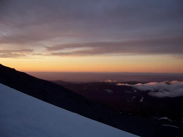
Oregon is moving through mid-winter with an unusually warm and dry pattern that is limiting mountain snow accumulation and accelerating snowmelt at lower elevations. The situation matters because snowpack in the Cascades and other ranges functions as a seasonal reservoir, storing water in winter and releasing it gradually into spring and summer.
Recent conditions have been dominated by persistent high pressure that has reduced storm frequency and pushed temperatures above typical mid-winter levels. The result has been a growing “snow drought,” a term used when snow water equivalent—the amount of liquid water contained in the snowpack—falls well below normal for the date.
Snow drought signals across Oregon
Monitoring across the Pacific Northwest shows snow drought is widespread in Oregon, with a large majority of SNOTEL stations registering below-threshold snow water equivalent for early January. Several sites have been at or near record-low early-season snow water equivalent for their period of record, indicating that the shortfall is not limited to a single basin.
Even when precipitation has arrived, warmer storms have increased the chance that mountain precipitation falls as rain rather than snow—reducing the amount of water stored for later months and increasing the likelihood of higher winter runoff followed by lower late-season flows.
Potential consequences: water supply, agriculture, and ecosystems
The immediate concern is the timing and reliability of water supply. Reduced snow storage can translate into earlier runoff, less sustained summer streamflow, and increased stress on reservoirs and groundwater recharge in snowmelt-dominated basins. Water managers typically rely on the late-winter and early-spring period to build snowpack; recovery remains possible if colder storms arrive in February and March.
For agriculture, low snowpack can tighten irrigation supply later in the growing season, particularly in areas dependent on stored surface water. For fish and aquatic ecosystems, diminished summer flows and warmer stream temperatures can increase stress during already challenging months.
Wildfire and winter recreation impacts
While wildfire risk is shaped by multiple factors, a winter with limited snow accumulation can contribute to a drier baseline heading into summer by reducing long-duration water availability in forests and rangelands. The same pattern can also affect winter recreation, including ski areas and snow-based tourism, as higher snowlines and intermittent melt events reduce dependable snow cover.
What to watch next
- Late-winter storm frequency and whether precipitation falls as snow at mid-to-high elevations.
- Snow water equivalent trends by basin as water supply outlooks are updated through spring.
- Drought classifications and hydrologic indicators such as soil moisture, streamflow, and reservoir trajectories.
Key point: Oregon can still make up seasonal ground, but the path to recovery depends on sustained periods of colder, snow-producing storms later in winter.