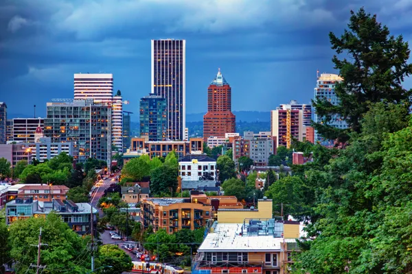
Gray Skies and Gentle Drizzle: Navigating Portland’s Saturated Saturday
A Classic Pacific Northwest Winter Saturday
As Portlanders wake up this Saturday morning, February 7, 2026, the city remains tucked under a familiar blanket of heavy gray clouds. After a week of varied conditions, the region is settling into a classic late-winter pattern characterized by high humidity and consistent moisture. While no extreme weather warnings are currently in effect for the metro area, the return of moisture to the Pacific Northwest means residents should prepare for a damp and drizzly start to the weekend.
Morning: A Chilly and Humid Start
Early risers encountered a damp morning with temperatures hovering around 42°F. With humidity levels reaching approximately 89%, the air feels heavy and cool, though notably warmer than the historical freezes sometimes seen this time of year. Sunrise occurred at 7:23 AM, though the thick cloud cover obscured any chance of a vibrant daybreak. During the morning hours, the probability of precipitation remains relatively low but is expected to climb steadily as the day progresses. The National Weather Service (NWS) Portland office notes that while heavy squalls are hitting higher elevations, the valley can expect a more gradual onset of light rain.
Afternoon: Rain Boots and Umbrellas Recommended
By midday and into the early afternoon, the chance of light rain increases significantly to approximately 65%. Temperatures are expected to peak at a mild 51°F, which is slightly above the seasonal average. This "warm" rainy period is part of a larger weather trend for early February that favors moisture over snow for the valley floor. Expect intermittent showers throughout the afternoon, making outdoor activities a bit soggy. Those heading to local markets or parks should keep rain gear handy, as the light drizzle will be persistent enough to saturate clothing over time.
Evening and Overnight Outlook
As we approach sunset at 5:26 PM, the rain is expected to taper off slightly, though it will not disappear entirely. The chance of precipitation drops to about 40% for the evening and overnight hours. Temperatures will stay relatively stable, only dipping back down to a low of approximately 42°F. The constant cloud cover will act as an insulating layer, preventing the sharper freezes seen in previous weeks. However, the high humidity (near 92%) and damp pavement could lead to reduced visibility and slick spots on the roads.
Weather Facts for Saturday, February 7, 2026
- Temperature Range: High of 51°F / Low of 42°F
- Precipitation: 65% chance of light rain during the day; 40% at night.
- Wind/Alerts: No active wind or flood warnings for the Portland metro area; Small Craft Advisories for the coast have recently expired.
- Daylight: 7:23 AM Sunrise to 5:26 PM Sunset.