Frosty Tuesday morning gives way to afternoon sun as Portland tracks a largely dry week
Cold start, brighter finish
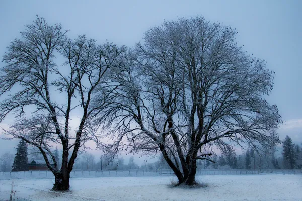
Portland is beginning the day with a winter chill and pockets of frost before conditions turn noticeably brighter. The prevailing pattern favors mostly sunny afternoons after cold mornings, a setup that can produce slick patches on untreated surfaces early in the day even when daytime temperatures recover.
Daytime highs are expected to hover around the upper 40s to low 50s, while overnight lows trend in the low-to-mid 30s—cold enough for frost to form in neighborhoods that decouple from the wind and cool efficiently after sunset. Winds are expected to remain generally light, with periods of easterly or northeasterly flow that can reinforce chilly mornings, particularly in exposed areas and locations influenced by the Columbia River Gorge.
Why the pattern is staying stable
The weather setup over the region is consistent with a winter high-pressure pattern: clearer skies at night allow heat to escape rapidly, and the lack of storm systems limits cloud cover and precipitation. In these conditions, the temperature swing from morning to afternoon can be pronounced—especially in January, when the sun angle is low but still capable of warming surfaces under clear skies.
This pattern tends to keep precipitation chances low in the short term, with any meaningful change dependent on when the next Pacific system is able to undercut or displace the ridge of high pressure. Forecast confidence is typically higher for the next 24–72 hours and becomes less certain later in the week as the timing and track of approaching systems are refined.
What Portlanders should watch for through the week
Morning frost: Likely on multiple mornings, especially in outlying valleys and sheltered residential areas.
Rapid midday improvement: Mostly sunny afternoons are expected to be common, supporting relatively mild daytime temperatures for late January.
Dry stretch: The Portland metro may remain largely dry for much of the week, with only low-end rain chances appearing later as the pattern begins to shift.
Even during a dry week, the most consequential winter impacts often occur early in the day—when frost can form on bridges, shaded sidewalks, and lightly traveled roads.
Outlook: dry favored, but late-week change remains possible
While the dominant signal supports a continued run of dry weather, late-week precipitation chances remain the key uncertainty. A slight adjustment in storm track can be the difference between continued dry conditions and light showers. For now, the most consistent theme is straightforward: frosty mornings, brighter afternoons, and a week that leans drier than usual for mid-winter in Portland.